Incident List
Feeds: InciWeb, NIFC, state forestry
Smoke Plume (HRRR-Smoke)
Animation hintCity Air Quality (PM2.5 / O3)
Nearest sensorFresno, CA
Redding, CA
Reno, NV
Boise, ID
EPA AirNow sensors and community monitors.
Forecast Highs / Heat Index
Heat RiskTue
107°
Wed
110°
Thu
112°
Fri
108°
Sat
105°
Min/Max: 97° / 112°
Wind — Sustained / Gust
Elevated spreadTue
16 / 32
Wed
18 / 38
Thu
20 / 44
Fri
14 / 28
Sat
12 / 26
Peak Gust: 52 mph
NWS Red Flag Statements
LiveCAZ213, CAZ215
Until Wed 8 PMGusty north winds and very low humidity will bring critical fire weather conditions to the Sacramento Valley and adjacent foothills.
ORZ624
Thu AfternoonDry thunderstorms possible with isolated lightning and minimal rainfall east of the Cascades.
Lightning Probability
Drought Monitor Distribution
California
Great Basin
ERC / Fuel Moisture
ERC
78
High1h FM
3%
Very dry1000h FM
11%
DryBurn Scars + Nowcast
Vulnerable Basins
WatchlistFeather River, CA
Debris flow 40%North Complex burn area • Thunderstorm outflows possible
Hermits Peak, NM
Debris flow 22%Recent burn scar • Localized heavy rain risk
Calf Canyon, NM
Debris flow 12%Steep terrain • Dry soils
Road Closures & Visibility
Low vis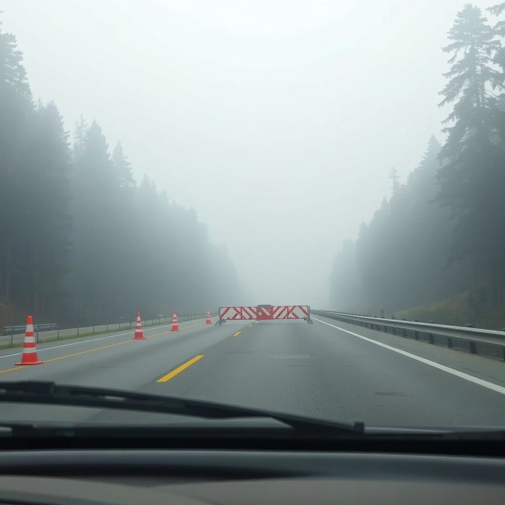
PSPS Likelihood
ElevatedUtility fire weather thresholds in foothill zones may be met.
Wildfire Cameras
Know your zone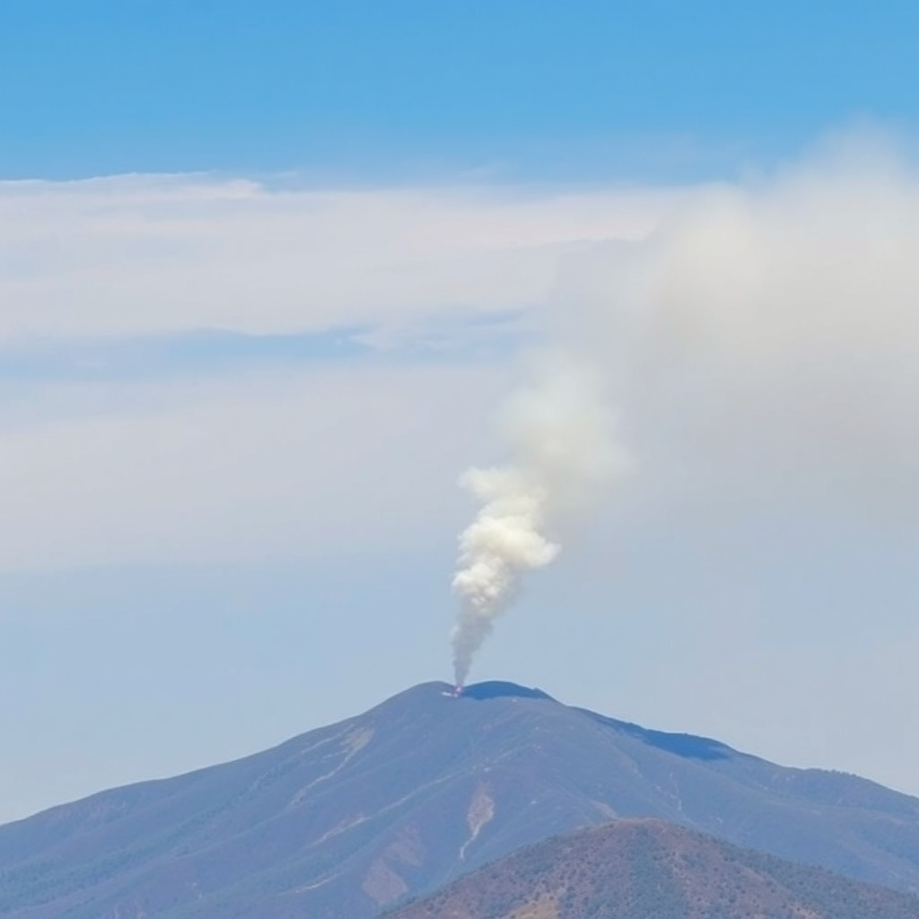

Data Sources & Refresh Cadence
- NWS / SPC alerts, Red Flag statements (5–10 min)
- InciWeb, NIFC IRWIN incidents and perimeters (15–30 min)
- EPA AirNow + low-cost sensors (10–15 min)
- GOES / GLM lightning and hot spots (1–5 min)
- HRRR-Smoke forecast (hourly), HRRR wind/temperature (hourly)
Units: °F temperatures, mph wind. Times auto-adjust to your local timezone.
Use the Refresh button to request the latest feeds. Last Updated shows the most recent successful data merge.
Safety Disclaimer
Fireline WX is an awareness dashboard and does not replace official emergency alerts, local agencies, road condition services, or the National Weather Service. Always follow evacuation orders and instructions from authorities. Check with your county emergency management, Cal Fire, state forestry, and local law enforcement for official information and zone status.
Last Updated Jun 12, 3:10 AM