Flood Watch
Puget Sound Lowlands
Details
Heavy rain may cause rapid river rises and urban/poor drainage flooding. Landslides possible.
Valid: Today 4 AM — Tomorrow 10 PM
StormSignal WX — focused, fast weather awareness for the Pacific Northwest.
Last Updated
—
Pacific Northwest focus: heavy rain, AR moisture plumes, coastal wind storms, flooding/landslides, and Cascade snow.
Coverage: WA • OR • Coastal headlands • Puget Sound • Willamette Valley • Cascades crest
Regional Temp (avg)
48°F
Heavy rain may cause rapid river rises and urban/poor drainage flooding. Landslides possible.
Valid: Today 4 AM — Tomorrow 10 PM
South winds 35–45 mph, gusts 60–70 mph near headlands and capes. Power outages and tree damage likely.
Valid: Today 11 AM — Tonight 2 AM
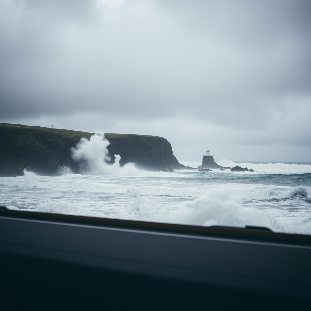
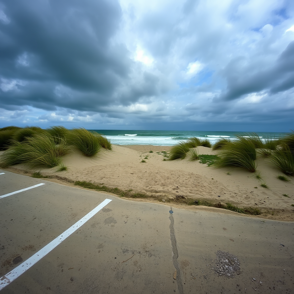
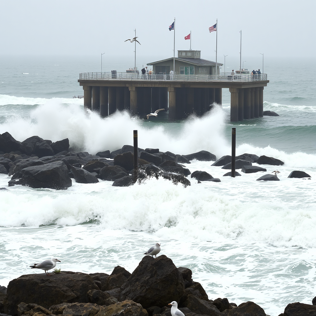
High tide plus surge may inundate low-lying coastal roads and parking areas. Beware sneaker waves.
Valid: This morning high tide cycle
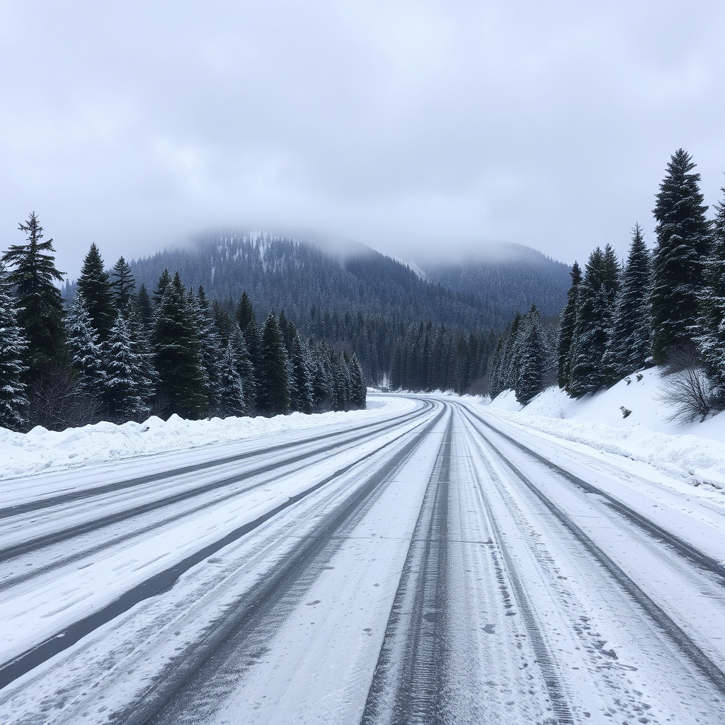
3–8" snow with locally higher near passes. Slippery travel and reduced visibility at times.
Valid: Through Tonight
Rainfall Totals
Last 24 hrs1‑hr
0.32"
6‑hr
1.12"
24‑hr
2.45"
3‑Day QPF
inches
Model blend suggests 2–5" lowlands, 5–8"+ coast and SW slopes.
Several basins nearing bankfull. Watch rapid responses on southwest slopes and urban creeks during peak bands.
River Gauges Map
Live gauges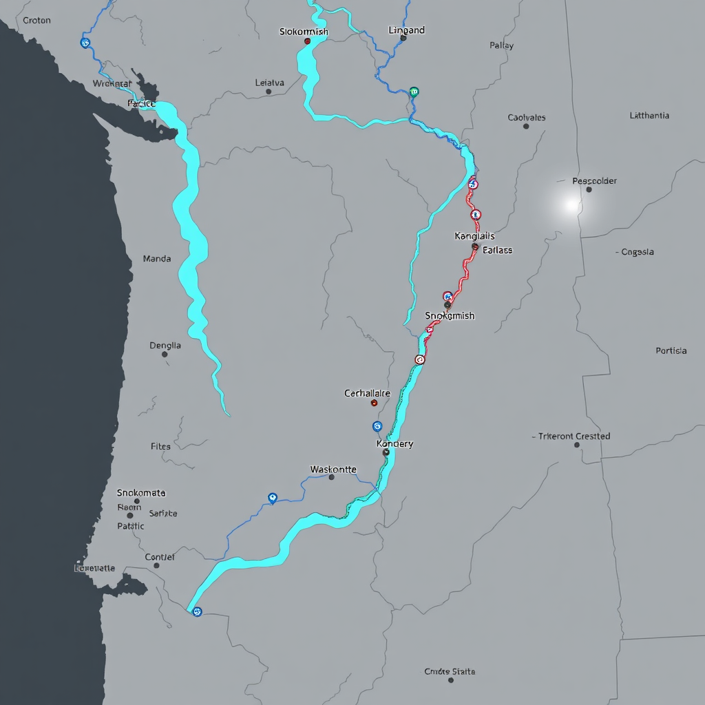
Source: NWS AHPS / USGS
850–1000 kg m⁻¹ s⁻¹
(moderate–strong)72‑hour IVT trend
Peak tonight; gradual decline by D+2 with showers lingering.
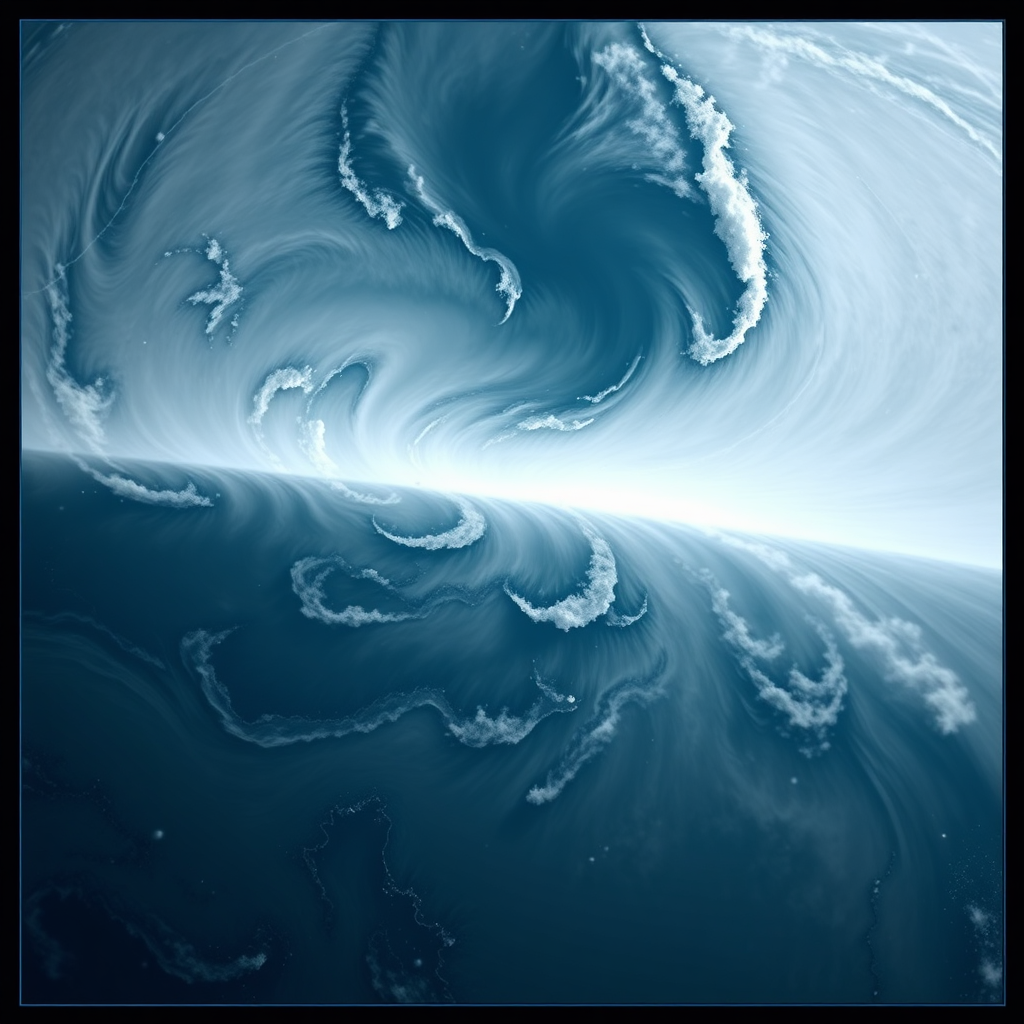
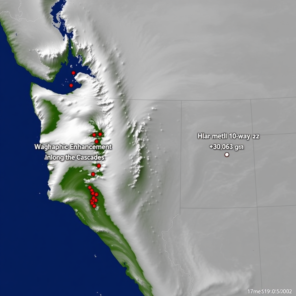
Moisture Plume
North OR Coast
41 mph Sust.
Gusts 66 mph
South WA Coast
38 mph Sust.
Gusts 58 mph
Headlands/Capes
45 mph Sust.
Gusts 72 mph
Puget Sound
22 mph Sust.
Gusts 38 mph
Tides & Surge
Coastal Cameras
Live viewsIntensity–Duration Threshold
Several sites near or above I–D threshold, especially where 24‑hr totals exceed 2".
Watchlist Locations
| Seattle hillsides | Elev. |
| Chehalis basin banks | High |
| Snoqualmie bluffs | Elev. |
| Oregon Coast Range | High |
Snow Level
2800 ft
24‑hr Snowfall
6.5"
Forecast Snow (next 48 hrs)
Stevens
8–14"
Snoqualmie
5–10"
Santiam
6–12"
Pass Temps
Stevens: 25°F
Snoqualmie: 29°F
Santiam: 27°F

Composite Radar
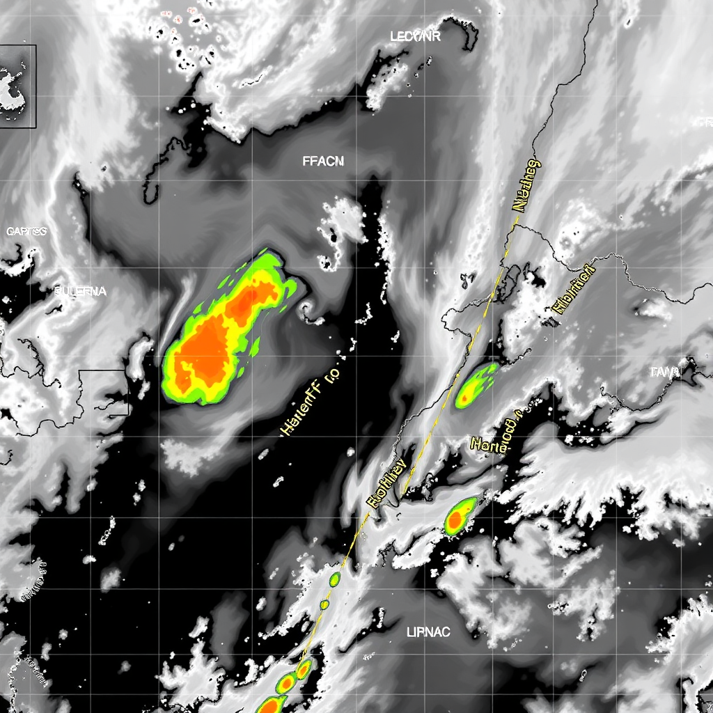
Futurecast (HRRR)
Timeline
Heaviest coastal rain and wind; minor tidal flooding possible.
I‑5 corridors: ponding, hydroplaning risk; scattered outages from wind.
Cascades passes: snow and ice; traction required at times.
Hazards Checklist
Seattle
Light Rain49°F
Portland
Rain51°F
Olympia
Rain47°F
Everett
Showers48°F
Bellingham
Breezy46°F
Astoria
Windy50°F
Hood River
Rain/Snow39°F
Safety Disclaimer
Rainline WX is an awareness dashboard and does not replace official emergency alerts, local authorities, road condition services, or the National Weather Service. Always follow official warnings and emergency instructions. Visit weather.gov and your state DOT resources for real‑time decisions.