Active Watches & Warnings
Last updated —
Storm Surge Watch
Tropical Storm
FL Big Bend & Nature Coast
Potential life‑threatening inundation 2–4 ft possible in vulnerable areas. Timing: next 24–48h.
NWS TAE • —
FL Big Bend & Nature Coast
Potential life‑threatening inundation 2–4 ft possible in vulnerable areas. Timing: next 24–48h.
Areas: Apalachee Bay, Cedar Key to Anclote River. Surge corridors near bays and tidal rivers.
NHC Advisory
Tornado Warning
Radar Confirmed
Tampa Metro — Hillsborough & Pinellas
Take cover now. Flying debris dangerous to those without shelter.
NWS TBW • —
Tampa Metro — Hillsborough & Pinellas
Take cover now. Flying debris dangerous to those without shelter.
Source: Doppler radar rotation, storm motion E at 35 mph. Hazards: tornado, quarter‑size hail, 60 mph gusts.
Shelter Guidance
Flash Flood Watch
South Florida — Miami‑Dade & Broward
Rainfall totals 4–8" with locally higher amounts. Rapid rises in canals and low‑lying areas.
NWS MFL • —
South Florida — Miami‑Dade & Broward
Rainfall totals 4–8" with locally higher amounts. Rapid rises in canals and low‑lying areas.
Avoid flooded roads. Turn Around, Don’t Drown.
Flood Safety
Heat Advisory
Upper Texas Coast — Houston Metro
Heat index 108–112°F this afternoon. Hydrate and limit outdoor activity.
NWS HGX • —
Upper Texas Coast — Houston Metro
Heat index 108–112°F this afternoon. Hydrate and limit outdoor activity.
Signs of heat illness: cramps, exhaustion, confusion. Seek shade and water.
Heat SafetyTropical Cyclone Tracker
Last updated —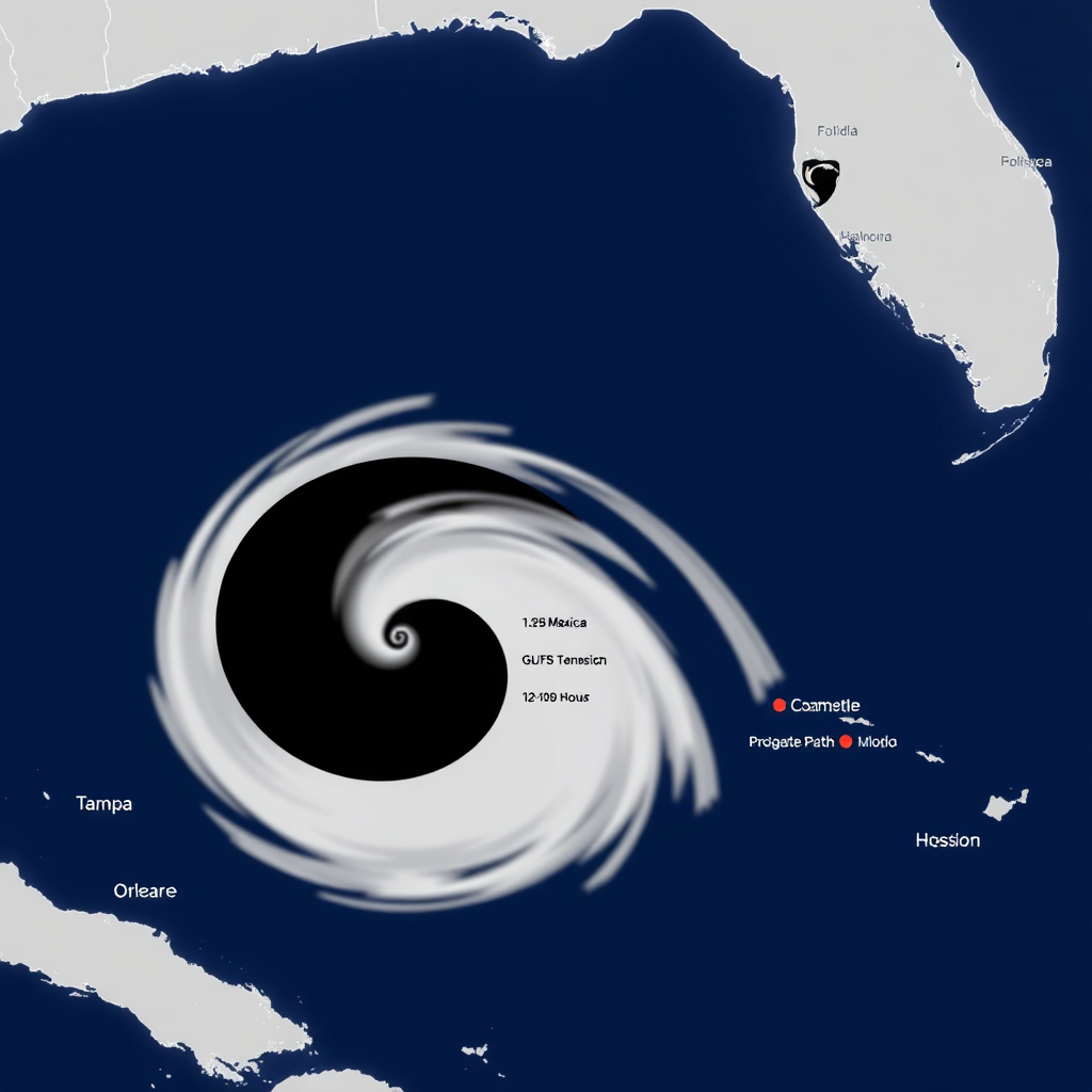
Sustained
100 mph
Gusts
125 mph
Central Pressure
965 mb
Movement
NW 12 mph
Arrival Time Bands
12–120h
Potential Impact Regions
- Tampa Bay — Elevated wind + surge
- Big Bend — Highest surge risk
- Panhandle — Heavy rain bands
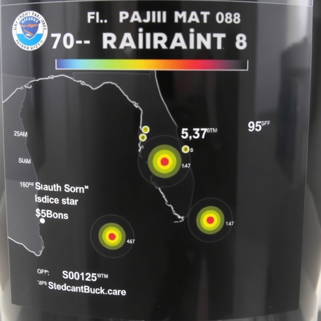
Storm Surge Forecast
Last updated —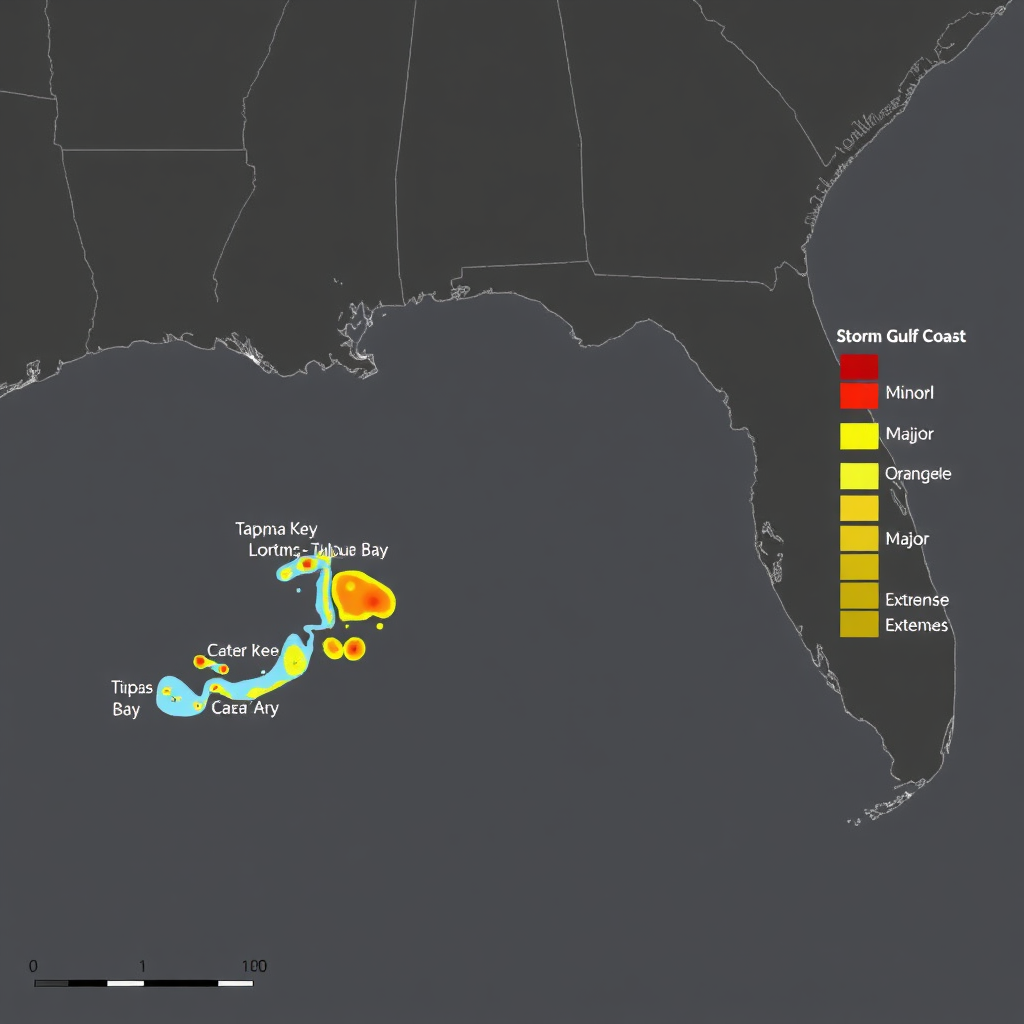
Surge Risk Meter
Current: Major along Big Bend
Tide Gauges
Last updated —Cedar Key
+2.7 ft MHHW
Apalachicola
+1.9 ft MHHW
Tampa (Bay)
+1.4 ft MHHW
Pensacola
+1.1 ft MHHW
Mobile
+0.8 ft MHHW
Galveston
+0.6 ft MHHW
QPF — 24–72h
Last updated —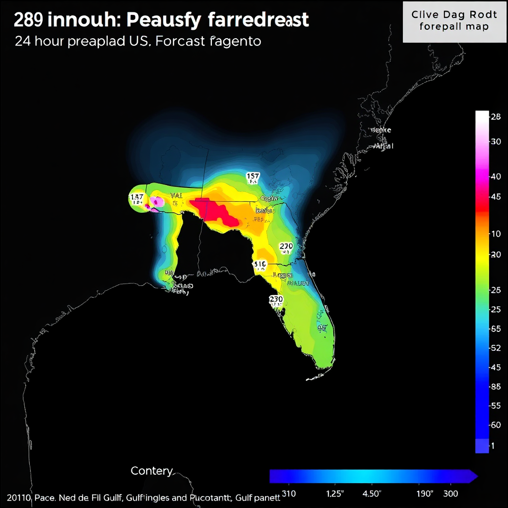
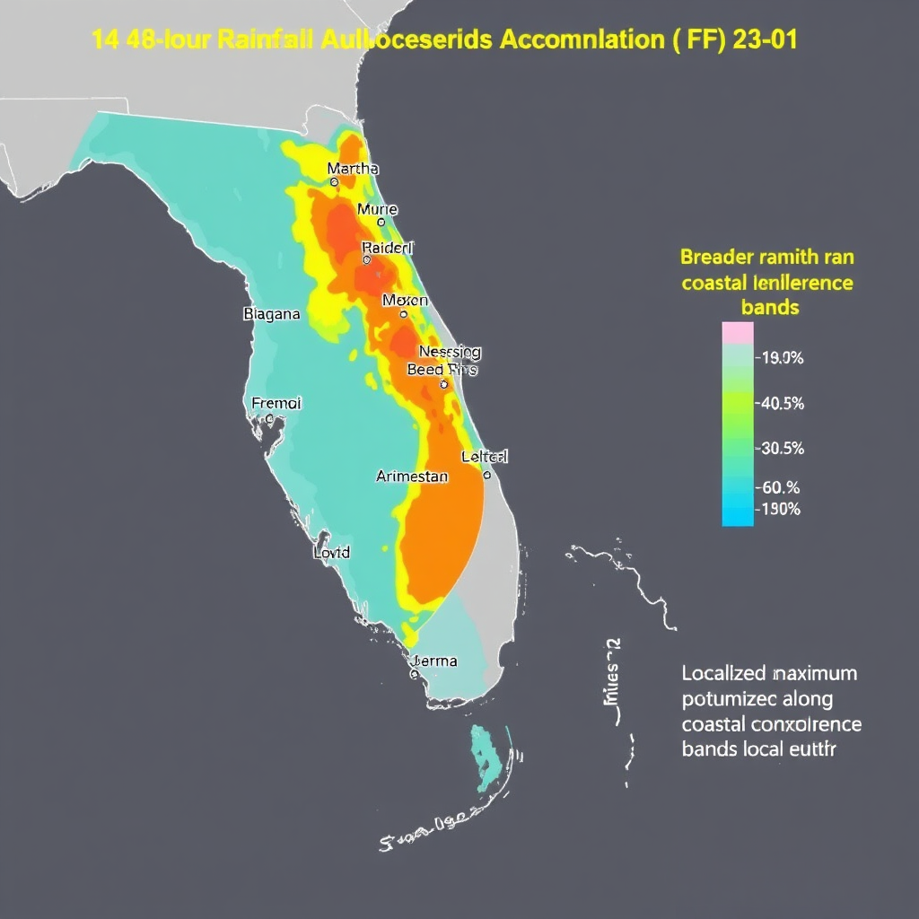
Flood Guidance & Recent Totals
Last updated —Miami‑Dade
2.0" in 3h
Broward
2.3" in 3h
Tampa Bay
2.1" in 3h
Panhandle
1.7" in 3h
Recent Rain (past 12h)
Miami
2.1"
Tampa
1.3"
Pensacola
1.0"
SPC Outlook
Last updated —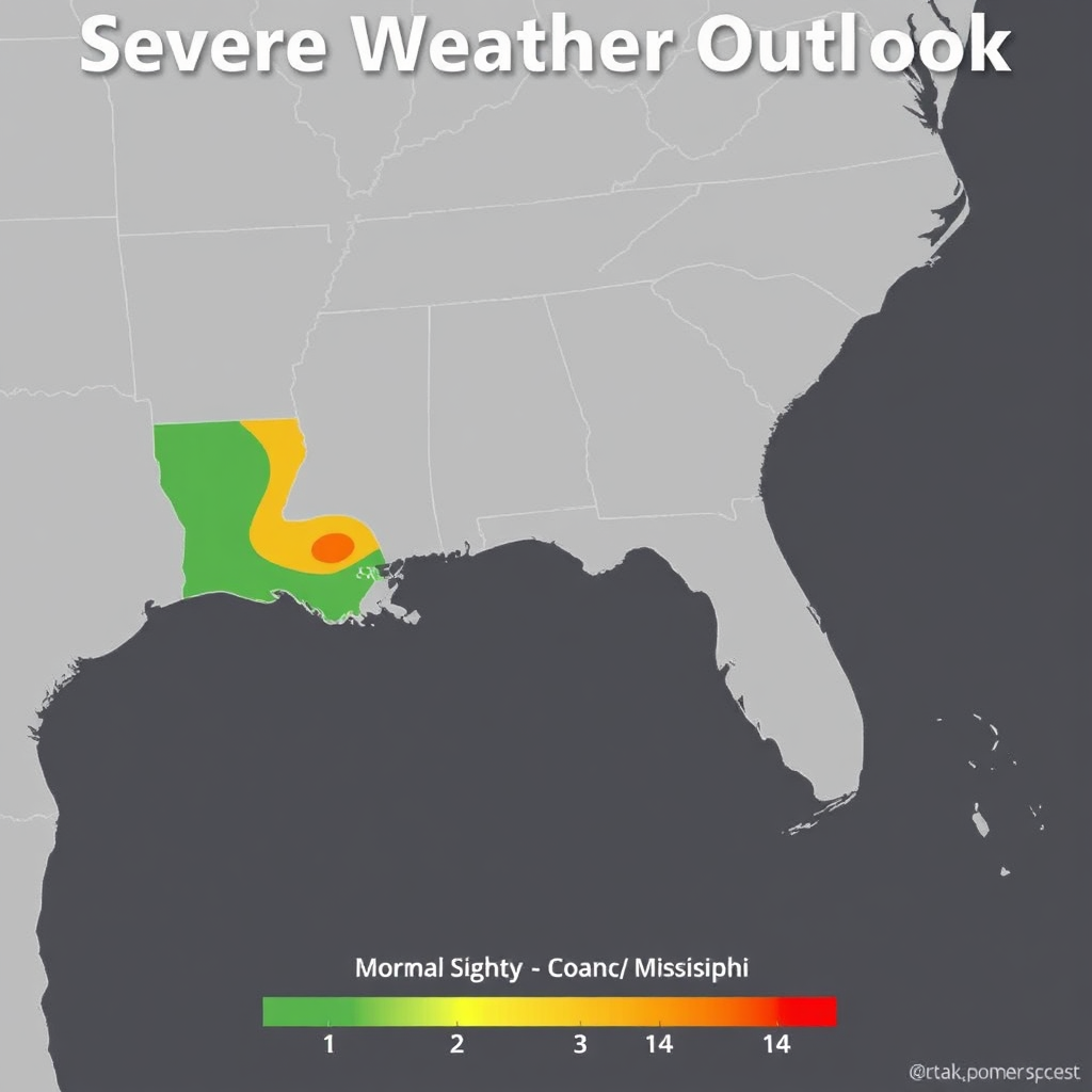
Live Warnings
Now-
TOR TBW
Tornado Warning — Pinellas, FL until 6:15 PM.
-
SVR MOB
Severe T‑Storm Warning — Baldwin, AL until 5:50 PM.
-
FFW MFL
Flash Flood Warning — Miami‑Dade, FL until 7:00 PM.
Severe Indices
Last updated —Hail Index
1.5
ModerateWind Index
2.3
HighTornado Index
0.9
LowShear (0–6 km)
35 kt
SupportiveHeat Index & Humidity
Last updated —Current Heat Index
104°F
Forecast Peak
110°F
Humidity
72%
WBGT
86°F
Hourly heat index next 12h
Advisories
- Hydrate frequently; avoid peak 1–5 PM.
- Check on elderly and those without AC.
- Plan outdoor work for early morning.
Rip Current & Surf
Last updated —Rip Risk
High
Water Temp
86°F
Swell Height
4–6 ft
Period 9s • ESE
Wind (mph)
18 G 28
Onshore
Beach Flag Legend
Coastal Stations
Last updated —
Miami Beach
Surf 3–4 ft
Clearwater
Surf 2–3 ft
Pensacola
Surf 4–5 ft
Galveston
Surf 3–4 ft
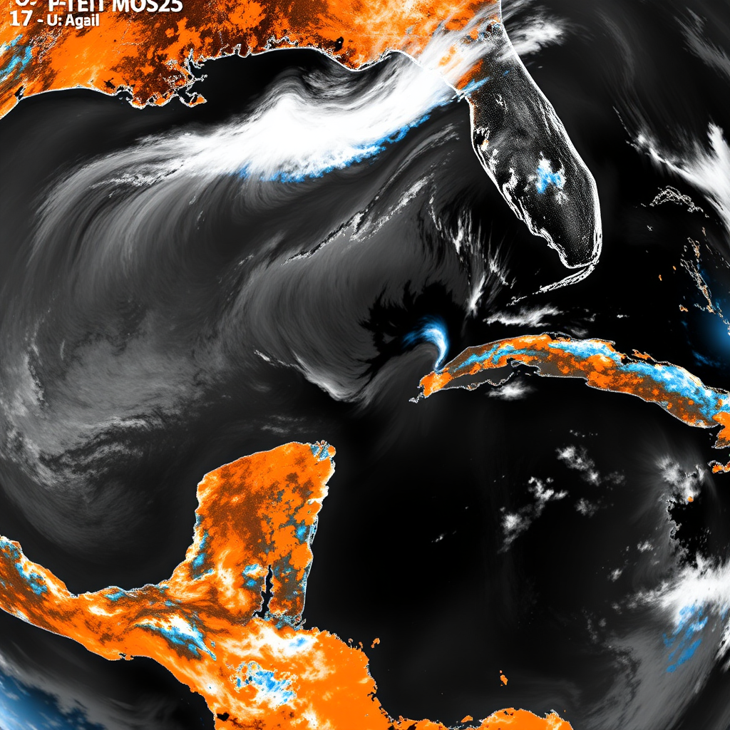
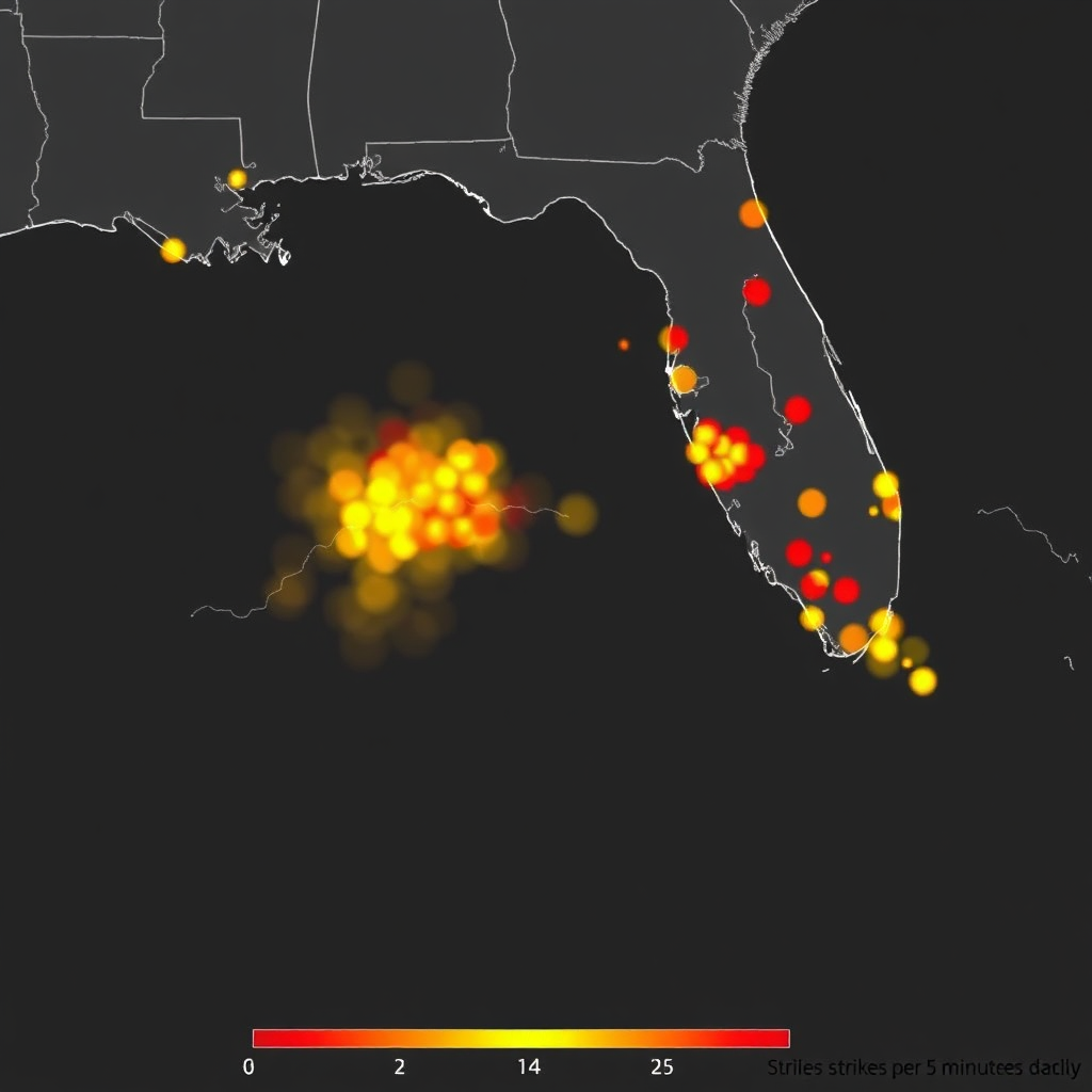
Radar • Satellite • Lightning
Last updated —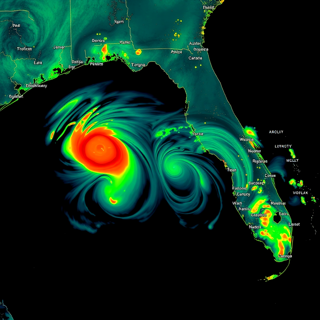
Power Outages
Last updated —
FL Customers Out
82,400
LA Customers Out
21,300
TX Customers Out
14,900
Transportation Impacts
Last updated —- I‑10 localized flooding near Tallahassee — use alternate routes.
- US‑90 closures east of Pensacola due to high water.
- Airport delays: TPA, MIA holding for thunderstorms.
- Coastal causeways subject to closure if winds exceed 39 mph.
Preparedness Checklist
Quick steps to boost resilience before impacts arrive:
-
- 3+ days of water (1 gallon per person per day) and non‑perishable food
- Battery backup for phones and a NOAA Weather Radio
- Refill prescriptions; secure important documents in waterproof bags
- Know your evacuation zone and shelter routes
- Fuel vehicles and charge power banks
Safety Disclaimer
GulfSignal WX is an awareness dashboard and does not replace official emergency alerts, local authorities, road condition services, or the National Weather Service. Always follow official warnings and emergency instructions. Data can be delayed or unavailable; verify critical decisions with trusted sources such as NWS, NHC, FEMA, and local EM.